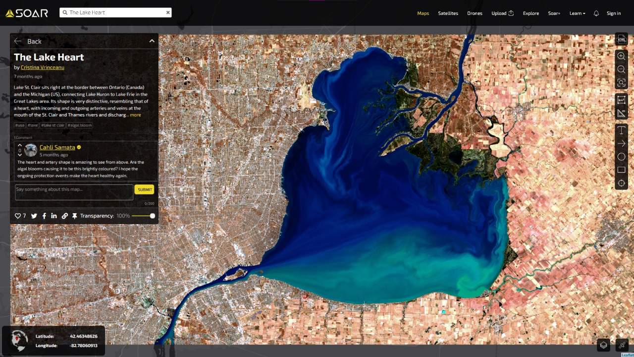
Soar.Earth is redefining mapping systems with their global digital atlas
Soar.Earth is a digital atlas of all the world’s maps and imagery, including: satellite imagery, aerial imagery, remote sensing data, drone images, orthomosaics, community content, and more. Their mission is to create the world’s largest digital atlas, built on maps and imagery from individuals, organizations, and the broader community. The company is headed by Amir Farhand, CEO & Founder of Soar.Earth, who has a proven experience of over 15 years in geospatial technology.
The story behind Soar.Earth lies in the desire to make maps and imagery usable and accessible by anyone in the world – a personal passion for Farhand, who was educated originally as a geomorphologist. Before Soar.Earth, he noticed that there was a big problem in the way mapping data was acquired, stored and shared with the geospatial industry. Accessing map and imagery data was expensive, complicated and time-consuming and many of the services only dealt with a single type of map or image, creating silos.
According to a report by Oracle, about 80% of all mapping content can be found only through direct channels. These channels often require a high degree of specialist knowledge to use. Soar.Earth changed that by opening up the world of maps and aerial imagery data to the world, creating a single hub for this imagery that’s free, easy to use, and requires no specialist software or training.
The world needs a single point of truth for all its mapping content, which is something that’s never been attempted before in the consumer world. Soar.Earth is the first-of-its-kind product that provides an online platform where anyone can access and interact with a large, global atlas of uploaded maps and images, share and upload maps, and find free and high resolution paid satellite and drone imagery.
A key feature that makes this product stand out is its user-friendly interface. The platform operates in a secured cloud environment and most of the content on the platform is free. The content that is available for purchase uses a quick click-and-collect process, with the most competitive prices in the industry. It also drastically reduces timely and frustrating searches across hundreds of silos and provides enormous breadth and volume of content in one place.
For businesses and users with security concerns, Soar.Earth offers a private atlas option, allowing you to manage and share your personal maps and imagery without sharing them with the wider community. It helps manage risk and conform to the often-strict licensing terms associated with Earth observation imagery and additional viewing software. It also allows collaboration across and between offices and project teams using a comment, annotation, and notification system called the ‘Visual Collaboration Tool’ or VCT. The VCT allows people to draw on, caption, and comment on a map or image to add information and collaborate with others.
As the geospatial industry grows and more mapping and imagery data becomes available with evolving technology, Soar.Earth will provide the home for all of it. Much of the valuable data held in mapping content today still remains unrecognized and unutilised. Soar.Earth wants to unlock this data for users, for whom it could hold significant commercial, research, or consumer application value. The platform is constantly upgrading its technology and functionality to create more value and opportunities for its users.

